
🎯Too Long; Didn’t Read
- Treat the city like a pattern: notice grids, curves, rivers, rail lines, and how intersections line up.
- Pick 2–3 strong landmarks and keep checking where they sit relative to you.
- Use nature when you can: sun position, shadow direction, wind, and consistent “city smells” from fixed zones.
- Build a mental map in real time: connect turns with rough distances, then replay the route backward to test yourself.
- Improve recall with repetition: walk the same stretch twice and actively spot what you missed the first time.
- Train direction memory with quick drills: point back to your start, name nearby anchors, sketch rough routes later.
- Ask locals smartly: short questions, landmark-based wording, repeat the answer once to confirm.
- Read the environment: signboards, icons, district names, and building types often guide better than street names.
- Watch movement: transit lines, traffic flow, and pedestrian streams usually lead to hubs and main routes.
- Manage fear and errors: stay calm, pause to re-check anchors, and treat wrong turns as useful feedback.
- Add advanced cues: use sound zones (stations, markets) and scent zones (food streets, fuel corridors) as orientation hints.
- Get better at distance/time: learn your walking pace, adjust for hills/crowds, and avoid rushing decisions.
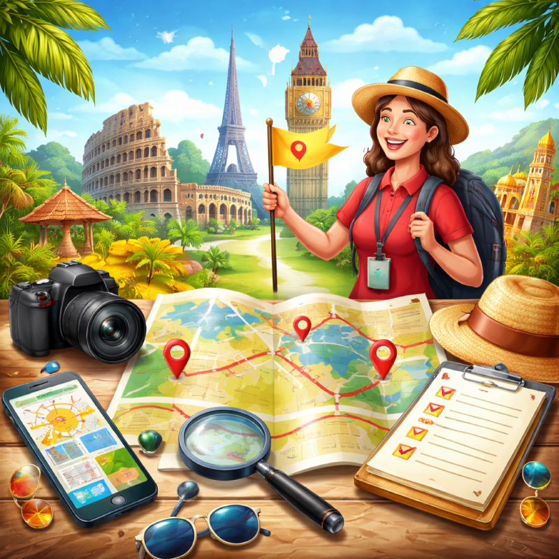
Understanding Urban Orientation Without Tools

Reading Street Patterns and City Layouts
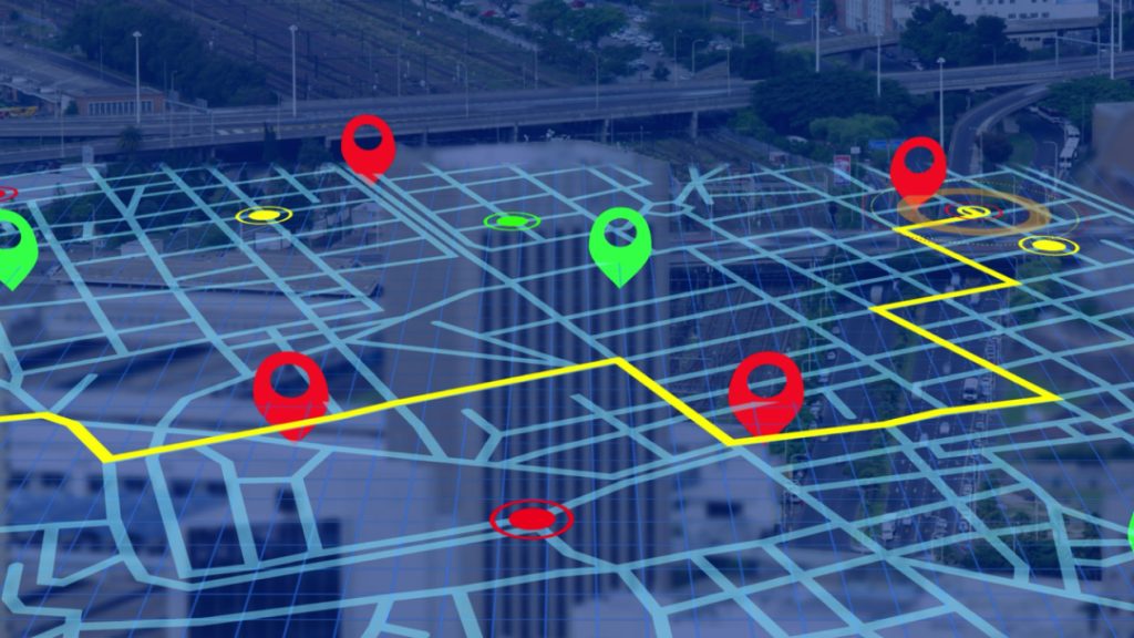
Cities don’t just pile roads randomly. Most operate on logic, even when the layout seems chaotic. Grids dominate newer developments. Older quarters curl back on themselves. Walking without a map? Watch for repetition: consistent block lengths, numbered sequences, parallel routes. These are clues. Use them to gauge direction and distance.
Study the intersections. Do they align or shift? That shift tells a story. Some cities form around organizing forces – a river, old rail lines. Walk for ten minutes. Then stop. Which way did the streets bend? Left or right? Note a landmark. Observe the cross-street frequency. Track the sun’s position. This habit builds orientation, fast. It demands attention, not tools.
Using Landmarks as Mental Anchors
Think of landmarks as mental moorings. Not just monuments or stations – any distinct structure works. A cell tower, that clunky brutalist building, a specific bridge. Two or three solid ones suffice. Navigate by tracking them. Notice a spire move from your left shoulder to the right? You’ve pivoted.
Link spots to routines: grab coffee at the place just past the bridge, cut through the park flanking the museum. Context beats plain labels. Temporary markers count too – that garish ad, a plaza constantly buzzing. Keep mentally updating their positions as you walk. Basic, sure. Dependable, absolutely.
Recognizing Natural Directions Like Sun and Wind
The sun doesn’t negotiate. East to west, always. At its peak, you’ve got a fixed point – north or south decided by your hemisphere. Stop. Watch shadows. They don’t lie.
Wind patterns hold direction, especially near coasts or open ground. It pushes with a kind of routine. Then there’s smell. Air can carry salt from a distant shore or the constant tang of industry from a fixed zone.
No gear needed. Just slow down. Observe.
The cues are subtle. Reliable. Ignore them and you drift. Use them and you know exactly where you stand.
Training Your Spatial Awareness
Building a Mental Map While Walking
A mental map is not art. It is a rough layout stored in memory. While walking, connect turns with distances. “Two blocks straight, one right, then stairs.” Say it in your head. Repeating short sequences helps lock them in. Do not try to remember every street name. Focus on structure instead. Corners, open squares, bridges, tunnels – these are strong markers.
After a short walk, stop and replay the route backward. If you can reverse it, your mental map exists. If not, retrace slowly. Over time, this process becomes automatic. You start sensing direction without effort. Sounds nerdy, but it feels natural after practice.
Improving Memory Through Repetition and Observation
Memory improves through cycles, not miracles. Walk the same path twice and notice new details the second time. Colors, shop signs, entrances, even sidewalk cracks. Small features stack into recognition. Observation is not staring; it is quick scanning with intent. Give each block a short label in your mind: “café corner,” “bus stop,” “glass building.”
These labels speed recall later. Repetition should not feel boring. Change pace or time of day and compare. Morning light shows different shapes than evening light. This variation strengthens memory. Over weeks, your brain builds layers of familiarity. No map, no stress. Just repetition and attention doing their job.
Practicing Direction Recall Exercises
You can train direction recall like a muscle. Try simple drills while commuting. Turn around after a block and point back to where you started. Guess the route without checking signs. Later, verify mentally, not with a phone. Another exercise: close your eyes for a second and list three nearby landmarks and their positions. Left, right, behind. Quick checks sharpen awareness.
You can also draw rough sketches from memory when you get home. Not perfect drawings, just lines and dots. These exercises feel small, but consistency matters. Do them daily for a few minutes. The improvement is real, and yeah, you will notice it soon.
Using Social and Environmental Clues

Asking Locals the Right Way
Asking for directions is not a weakness. It is smart when done right. Keep questions short and clear. “Where is the central station?” works better than a long story. Mention a known landmark instead of a street name if possible. People remember places more easily than numbers. Listen for keywords like “two blocks,” “left,” or “next to.” Repeat the instruction once to confirm. Tone matters; polite but direct.
Avoid overloading the person with follow-ups. One solid answer beats five messy ones. If answers conflict, compare them and look for overlap. Locals usually point toward big routes first. Use that hint and move.
Interpreting Signboards and Building Names
Signboards and building names are quiet guides. They show districts, directions, and services. Even partial information helps. A sign reading “North Station 2 km” already narrows choices. Look high as well as eye level; many direction boards sit above traffic. Building names reveal functions: libraries, courts, markets. These places anchor orientation because they rarely move. Pay attention to arrows and icons. They are designed for quick reading while walking. Do not rush past them. A two-second glance can save ten minutes of wandering.
Also check corner plaques for street names. Combine these clues and your route becomes clearer without any digital help.
Observing Traffic Flow and Public Movement
Traffic flow tells stories. Cars often move toward business centers during mornings and away in evenings. Public transport lines usually connect major hubs. Watch where buses and trams turn. That path often leads to stations or central squares. Pedestrian density also matters. Crowds gather near markets, offices, or transit points. Follow movement patterns when unsure, but do not blindly chase crowds.
Compare direction with your mental anchors first. Notice delivery trucks and taxis; they gravitate toward active zones. This method is practical and quick. You are basically reading the city’s pulse. Sounds casual, but it gives strong hints when signs are missing or confusing.
Developing Confidence While Exploring
Overcoming the Fear of Getting Lost
Fear of getting lost is mental static. Cities aren’t mazes. Streets connect. Exits appear. Detours are just directional hiccups. Panicking blocks the signal – switch to observing instead. Notice a storefront, a street sign, the pull of traffic. Walking back remains a permanent option. Confidence builds from exposure. Take ten minutes. Walk. Turn. Return using memory.
Each recovered route quiets the noise. Senses become reliable. Initial attempts feel clumsy – that fades. Being temporarily misplaced isn’t failure. It’s skill acquisition, uncomfortable but functional.
Turning Mistakes into Learning Opportunities
A wrong turn isn’t a disaster – it’s data. Notice the error and pause. What caused it? A missed landmark? A misjudged interval? This analysis stops it from happening again. Anchor the correct path to something vivid: that convenience store, the peeling mural, a specific bench. You’ll recognize it quicker next time.
Stay loose. Frustration clouds the mind; curiosity clears it. Everyone, even experts, misreads a map sometimes. The goal isn’t perfect navigation, but a sharper response. Each correction trains attention and reinforces memory.
Over time, errors become less frequent. You stop dreading them. Instead, you parse them for information. That’s the pivotal shift.
Staying Calm and Adaptive in Unknown Areas
Calmness works as a navigation tool. Stay composed, and your perception actually widens. You’ll catch patterns, sounds, signs – all the details panic normally blots out. Adaptability is just adjusting plans without drama. A street closes? Pick another route. Use anchors, read traffic flow. Keep your breathing steady, your pace moderate. Rushing breeds errors. Scan surroundings every few minutes; don’t stare at the ground. Small pauses help recalibrate. Set loose goals, not rigid paths.
Flexibility cuts stress and sharpens decisions. Unknown areas become manageable once you treat them as sources of information, not threats. Stay cool, move steady, think clear. That combination keeps you moving forward.
Advanced Techniques for Navigation Without Maps
Using Sounds and Smells as Directional Cues
Cities produce constant audio and scent signals. Train stations emit announcements and rumbling tracks. Markets generate chatter and food aromas. Waterfronts carry gull calls and salty air. These cues travel farther than visuals, especially at night or in fog. Close your eyes briefly and locate the loudest or most distinct source. Then compare it with your intended direction. Smells also reveal zones: coffee near cafés, fuel near highways, fresh bread near bakeries. None of this is mystical. It is sensory awareness applied with intent.
Over time, you recognize patterns quickly. Sounds and smells guide movement when signs disappear or lighting drops.
Estimating Distance and Travel Time Accurately
Distance estimation improves with pacing. Count steps for one block and use that number as a baseline. After a while, you sense how long a kilometer feels on foot. Travel time links with pace and terrain. Flat streets move faster than hills. Crowds slow everything. Instead of guessing wildly, build simple rules: five minutes per block, ten minutes per district.
Adjust after real experience. Landmarks also help measure progress. If the tower barely grows, you are far. If it expands fast, you are close. This method prevents overshooting destinations. It also keeps expectations realistic and reduces stress during long walks.
Combining Instinct with Logical Reasoning
Instinct and logic work best together. Instinct reacts to subtle cues, while logic verifies direction through patterns and anchors. When they clash, pause and reassess. Check sun position, traffic flow, and landmark alignment.
Do not rush decisions. Quick scans beat random turns. Logical reasoning handles structure: grids, numbered streets, transit lines. Instinct handles nuance: crowd energy, sound sources, gut discomfort.
Balance both instead of choosing one. Over time, this blend becomes smooth. You move with confidence yet stay analytical. It feels less like guessing and more like informed choice. That balance is the real skill behind navigating cities without a map.
❓FAQ❓
How do I navigate in a city where street names use a different alphabet?
Focus on numbers, icons, transit line colors, and recognizable place types like stations, parks, and rivers; they work even when you can’t read.
What if I have poor sense of direction or ADHD and get distracted fast?
Use a simple routine: stop at every third intersection, name where you came from, and pick one clear anchor to keep checking.
How do I handle navigation when I’m with a group and everyone has a different opinion?
Pick one person as the “caller” for ten minutes, decide a checkpoint landmark, and agree to reassess only at that checkpoint.